County engineers visit 700 homes to assess mudflow risks before El Niño
Public Works staff are conducting free walk-throughs for residents in burn scar zones and beyond.
By Isabel Ortega ·
Los Angeles County engineers are knocking on doors across the region to help residents prepare for potential flooding and mudflows.
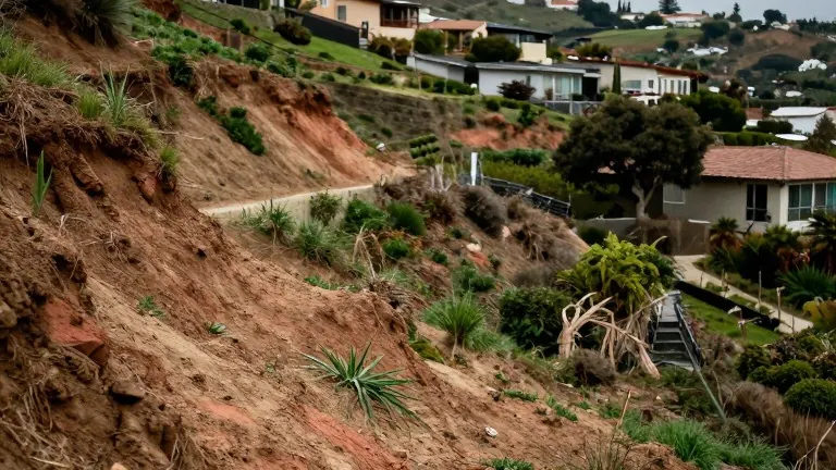
A civil engineer with the county, Eden Ly, recently visited a rental property in a neighborhood affected by the Eaton Fire. He noted that the steep, burned hillside directly above the house posed a specific danger. Ly observed that recent vegetation recovery and a solid retaining wall reduced the risk, but he warned that the terrain above the home is gravelly and muddy rather than rocky. This composition suggests a mud flow is more likely than a boulder slide, similar to the debris flows seen in Montecito in 2018.
The county expanded its free engineering assessment program this year to include all residents, not just those in unincorporated areas or burn scars. Kerjon Lee, a spokesperson for the Public Works Department, stated that the team has visited over 700 homes so far this season. Of those visits, 233 homeowners received detailed walk-through assessments. The service is available in English, Spanish, and Chinese via a dedicated hotline at (800) 933-0930 or (800) 675-HELP, option 6.
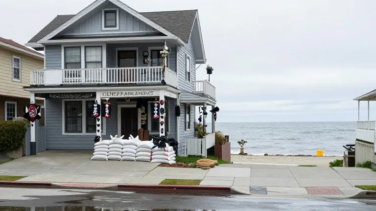
Before visiting a property, the engineering team analyzes geospatial data, topography, historical rain gauge readings, and soil types. Ly explained that this data is often not public or easy for average residents to interpret. The goal is to bridge that gap by providing specific advice on how water and debris might move across a property. He suggested strategic placement of plywood and sandbags to deflect flow, noting that the team would recommend residents leave during heavy storms if weak spots threaten areas like parking spaces.
El Niño conditions are expected to bring increased rainfall to Southern California this winter. Climate scientist Daniel Swain noted that El Niño warms the ocean and temporarily raises sea levels. This effect coincides with the highest tides of a nearly two-decade cycle, a phenomenon known as the declination of the moon. Swain said the combined risk of coastal flooding is very high. Inland areas near creeks and rivers also face elevated risks due to extreme rainfall driven by El Niño and global warming.
Hydrological rules of thumb suggest that half an inch of rain in under an hour, or three to four inches in a day, can trigger debris flows after a recent wildfire. However, Ly noted that saturated ground from back-to-back storms can lower this threshold. The county advises residents to check forecasts and understand local water flow patterns. Engineers will send detailed reports to high-risk properties after further data analysis. Residents are also encouraged to talk with neighbors who have experience with past storms to identify local drainage issues.
The assessment process includes reviewing existing infrastructure such as swales and retaining walls. In the recent visit, engineers confirmed that drainage features behind the home would direct water toward the street. The free service includes a final email report with specific recommendations for high-risk homes. This proactive approach aims to reduce uncertainty for residents facing the winter storm season.
Source: KPCC · original report published
More News · Los Angeles news · Report a business · Got a Story?